There certainly are a lot of choices when it comes to databases. But when there is something that plays such a vital role in the accuracy of our system designs and therefore the likelihood that we will win RFPs and ensure our customers’ satisfaction, i.e. the health of our business…why do we so often knowingly choose to use utter garbage?

USGS data is not in any way or shape appropriate for wireless network design.
Admittedly, there may have been a time when USGS data may have been the most prudent choice. After all, there was a time not long ago when custom data was expensive, took a long time to procure, and was not readily available for all service areas. But in 2021, these statements are no longer true.
Custom data is affordable and readily available for any region on the globe.
What data is available?
EDX Wireless works with a network of data providers to give you several options that range in resolution and price. Just send EDX a Google Earth polygon of your service area for any location in the world, and we will provide pricing for several options.
Of course EDX Wireless also provides the industry’s only data subscription service: https://edx.com/cirrus-data-service/
But USGS Data is free…
How much time do you waste converting and manipulating this junk? What does your engineering bill tally up to when you figure the engineering hours spent on this ridiculous task?
The average conversion of USGS terrain and clutter takes one man-day per database.
The average manual manipulation of USGS data is 15 minutes per site.
How much engineering dollars is this costing you?
There isn’t other data available…
Yes, there is. A lot of it.
We need data right away…
The Cirrus data subscription service makes high-resolution data for any location available immediately. No converting, no manual manipulations…just download and go.
It’s good enough for our purposes…
Inaccurate data means inaccurate system designs and deployments. When a garbage database inaccurately describes a ‘forest’ as ‘developed high intensity’ for example (this is a real thing that happens), you will end up buying much more hardware than is needed and be upside-down on your project right away, not to mention the performance issues that arise. How are you not better off buying proper data on the front end?
See how working with EDX solutions and proper data saved an electric distribution utility $340,000 on their Smart Meter deployment: http://docs.edx.com/oncor-case-study-xciymn14ot.html
New to EDX?
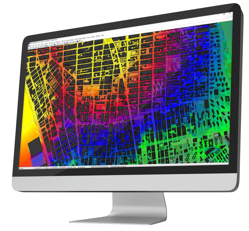
EDX Wireless provides instant access to a full suite of wireless network planning solutions. Our all-in-one cloud-based software provides instant access to all the tools needed for wireless network design, maximizing productivity and providing first-rate service to your customers.
Our solutions ensure networks meet performance and cost requirements for 5G, LTE, IoT, mmWave, CBRS, Smart Grid, Distribution Automation, in-building DAS and more.