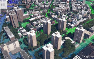
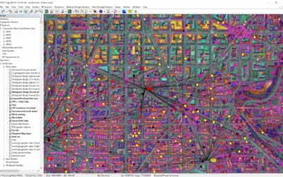
Use-cases such as rural broadband delivery and Smart Cities will utilize frequency bands from 3.6 GHz up to mmWave frequencies, which become much more dependent on line of sight. This means that improved granularity in the geodata used to model the environment will be critical in reliably planning these networks. EDX network planning tools support these frequency bands and the high-resolution clutter height data needed for accurate planning.
In this webinar we were joined by Andy Baffes of EGS Technologies to compare some of the geodata options available and how they can be applied to improve the reliability of planning for the next generation of broadband networks.
Watch the webinar to see examples of high-resolution data and how it can benefit your organization.


