
EDX SignalPro/Signal & The Cirrus Platform
New product build – Release 10.0.2
NEW FEATURES / ENHANCEMENTS / UPDATES
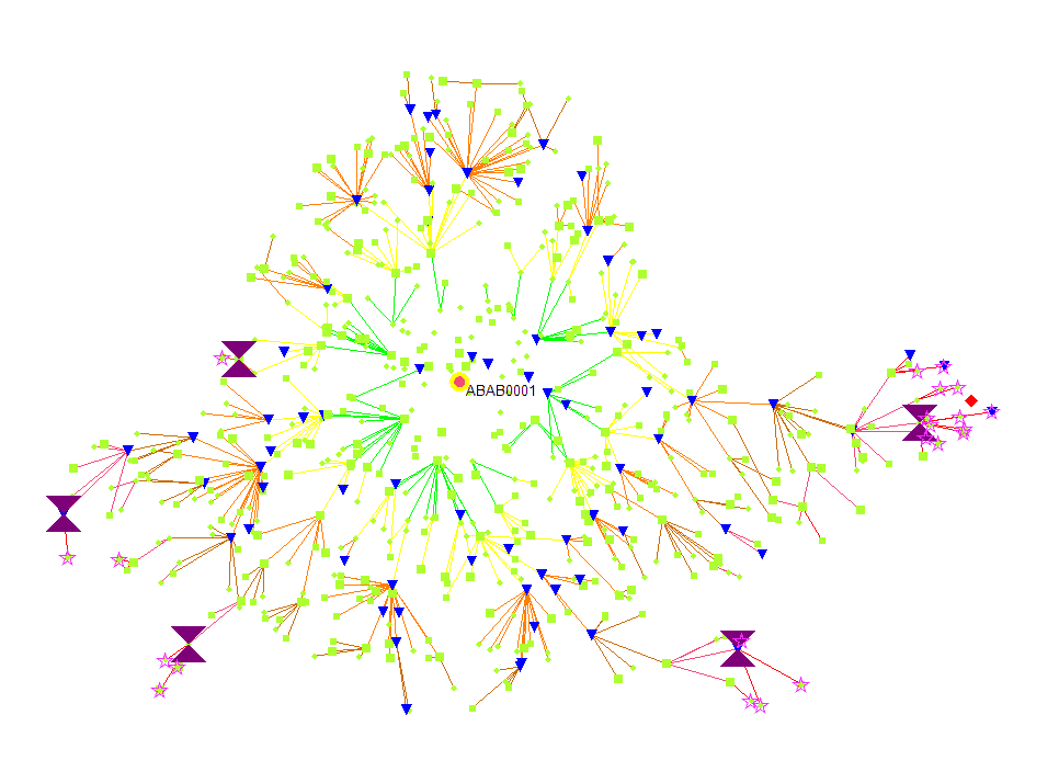
- Viewing Topology Results in Router View- Enhancing the planning for mesh, users are now able to view the branchpoints and nodes behind branchpoints in router view. This includes a selection of running the topology in the router view and an option to include or exclude these points in the router view
- Improving the Use of MegaMesh files with SignalPro Templates- The templates for the MegaMesh module have been enhanced to managed new project templates with the ability to add Smart Grid templates. A new project can be created from this template.
BUG FIXES / OTHER
- Area Study Queries by Point – Error- A discrepancy of 1 was found between the Area Study Queries by point feature and measurement analysis, this was previously fixed but was reopened as the error was seen again. This has now been resolved
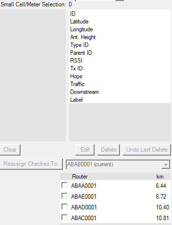
- Max Router Range in Meter Types Table Was Not Being Respected- The MegaMesh study did not respect the Max Router Range distance in the Meter Types table. It was seen that the meters could not connect directly to a gateway. This has now resolved
EARLY ACCESS FEATURES (to enable please contact EDX technical support)
- Cirrus Platform-The new platform provides sophisticated cloud computing for a highly scalable, elastic and significantly faster experience than that of traditional desktop applications. The platform provides many features for streamlining and optimization network designs such as the “replay” function, allowing many studies with different settings simultaneously as well as the ability to compute large regions in a single run, eliminating the need to reset study grids and run multiple studies for one service area.
- Map Download & Sync-This new feature is a lightweight interactive map enabling users to select the region/area of interest inside of SignalPro and automatically download terrain/clutter data from our geospatial hosting service. Save time by no longer having to source, download or convert data from a third party application..
- Clutter Attenuation Files – New attenuation files provided with the Cirrus data service provides values for urban, suburban and rural areas with average heights across these various service areas. This provides a higher level of detail and saves engineering time spent on the backend tuning height values for clutter categories.