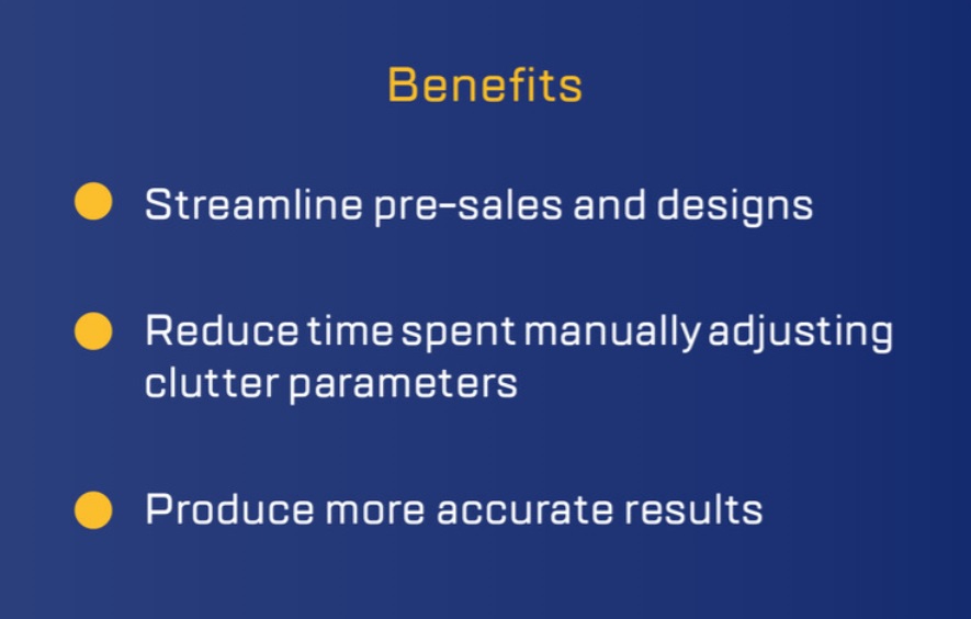
Spending Too Much Time Adjusting Clutter Values?
One of the most painstaking tasks in creating service area models is choosing the appropriate terrain and clutter data. This becomes even more important when working in challenging service areas that present physical characteristics that will greatly impact our models, design, and system performance, particularly in high frequencies and with transmitters close to the ground where they are more likely to be impacted by land use factors.
Even the most accurate databases in the world are going to be largely dependent on the attenuation values that are assigned to each category depicted. Due to variances in service areas in different regions, an attenuation file that comes with average clutter height and attenuation values may require a great deal of adjustment from engineers. Consider, for example, the difference in tree height and forested areas of the Pacific Northwest versus Phoenix, Arizona.
To help address this and reduce engineering time spent on adjusting attenuation values for each region, EDX provides four different attenuation files for use with Cirrus Data: full (mix of metro and rural), urban, suburban and rural, with each file providing the average height and attenuation value for each corresponding service area.
How the values were derived
Each region was analyzed using the 1m/30m hybrid clutter available with Cirrus Data, with heights derived from the most recent clutter height data imagery available.
The specific values are derived based on the average height found in corresponding service regions, excluding those regions that are outliers with extreme highs/lows in any given category (consider again tree height in the Pacific Northwest vs Phoenix).
The Bottom Line
A clutter database typically comes with one attenuation file to be used regardless of the region of interest, leading to engineers spending time manually adjusting heights and values as they design and deploy in various service areas. With the ability to choose from four different attenuation files, engineers can now use the one that best represents their service area and greatly reduce the time spent on manual adjustments, leaving you to respond to more RFPs, produce more deliverables and gain more accurate results.
How Do I use the Data?
Each Cirrus Data subscription comes standard with these four attenuation files. Cirrus Data provides: 1m/30m hybrid clutter, 10m terrain, 2D vectors and demographics. Cirrus Data comes with monthly licensing, prepaid licenses, and can be added to perpetual & perpetual hybrid licensing with annual subscriptions in a variety of ways: US subscription, Global subscription, or subscription to only a particular service area.